
Tokyo topographic map
Click on the map to display elevation.
Tokyo
The mainland portion of Tokyo lies northwest of Tokyo Bay and measures about 90 km (56 mi) east to west and 25 km (16 mi) north to south. The average elevation in Tokyo is 40 m (131 ft). Chiba Prefecture borders it to the east, Yamanashi to the west, Kanagawa to the south, and Saitama to the north. Mainland Tokyo is further subdivided into the special wards (occupying the eastern half) and the Tama area (多摩地域) stretching westwards.
About this map
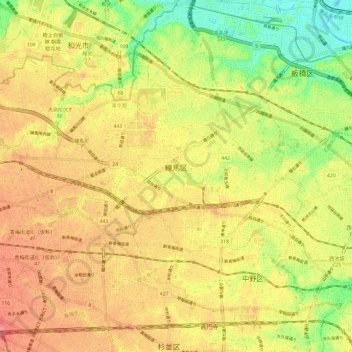
Name: Tokyo topographic map, elevation, terrain.
Location: Tokyo, Nerima, Japan (35.71171 139.56289 35.77999 139.68111)
Average elevation: 39 m
Minimum elevation: 0 m
Maximum elevation: 67 m