Geolocate

Sandy Hook topographic map

Click on the map to display elevation.

About this map

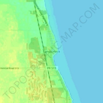
Name: Sandy Hook topographic map, elevation, terrain.

Location: Sandy Hook, Gimli, Manitoba, R0C 3G0, Canada (50.52295 -97.00454 50.56295 -96.96454)

Average elevation: 221 m

Minimum elevation: 215 m

Maximum elevation: 232 m

Gimli trails, hiking, mountain biking, running and outdoor activities

Gear up for your next adventure:

🔦LED Headlamp - Hands-free lighting for early morning starts or late finishes
🐕Hiking Dog Pack - Let your canine companion carry their own water and food
🧥Softshell Jacket - Windproof and breathable jacket for hiking
Camping Groundsheet - Protect your tent from moisture and dirt
🛏️Sleeping Bag - Warm and compact sleeping bags for outdoor camping

As an Amazon Associate, this site earns from qualifying purchases at no extra cost to you.