
Pattern topographic map
Interactive map
Click on the map to display elevation.
About this map
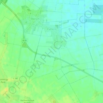
Name: Pattern topographic map, elevation, terrain.
Location: Pattern, Jülich, Kreis Düren, North Rhine-Westphalia, Germany (50.93725 6.37601 50.96571 6.40479)
Average elevation: 101 m
Minimum elevation: 92 m
Maximum elevation: 115 m