
Unterlamm topographic map
Interactive map
Click on the map to display elevation.
About this map
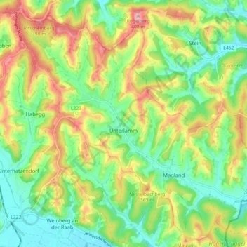
Name: Unterlamm topographic map, elevation, terrain.
Location: Unterlamm, Bezirk Südoststeiermark, Styrie, 8352, Autriche (46.95150 16.01878 47.00856 16.10773)
Average elevation: 313 m
Minimum elevation: 250 m
Maximum elevation: 406 m