Geolocate

Zabreg topographic map

Click on the map to display elevation.

About this map

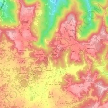
Name: Zabreg topographic map, elevation, terrain.

Location: Zabreg, Grad Pazin, Istria County, 52403, Croatia (45.19716 13.95521 45.23716 13.99521)

Average elevation: 405 m

Minimum elevation: 274 m

Maximum elevation: 468 m

Gear up for your next adventure:

🛏️Sleeping Bag - Warm and compact sleeping bags for outdoor camping
🧴Insect Repellent - Protect yourself from bugs during outdoor adventures
🧢Sun Protection Cap - Breathable cap to protect from sun exposure
🧭GPS Outdoor Watch - Smart watch for navigation and fitness tracking in nature
🧦Hiking Liner Socks - Thin base layer to prevent friction and blisters

As an Amazon Associate, this site earns from qualifying purchases at no extra cost to you.