
Lahdara topographic map
Interactive map
Click on the map to display elevation.
About this map
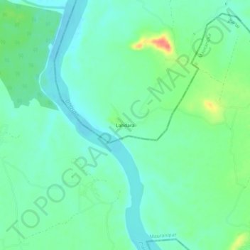
Name: Lahdara topographic map, elevation, terrain.
Location: Lahdara, Nowgong Tahsil, Chhatarpur, Madhya Pradesh, Inde (25.24415 79.25565 25.28415 79.29565)
Average elevation: 193 m
Minimum elevation: 178 m
Maximum elevation: 229 m