Geolocate

Bameng topographic map

Click on the map to display elevation.

About this map

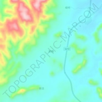
Name: Bameng topographic map, elevation, terrain.

Location: Bameng, Jiangzhou District, Chongzuo City, Guangxi, China (22.28140 107.47600 22.32140 107.51600)

Average elevation: 196 m

Minimum elevation: 133 m

Maximum elevation: 381 m

Gear up for your next adventure:

Lightweight Backpacking Tent - Compact tent for efficient hiking trips
🥤Collapsible Travel Cup - Saves space and weight in your mess kit
🥾Waterproof Trail Shoes - Shoes designed to handle wet terrain
🦌Outdoor Trail Camera - Monitor wildlife activity near your favorite spots
🥾Approach Boots - Comfortable boots for hiking and climbing approaches

As an Amazon Associate, this site earns from qualifying purchases at no extra cost to you.