

Carlsberg topographic map
Click on the map to display elevation.
Carlsberg
Crostau ist ein klassisches Gebirgsdorf. Es erstreckt sich auf einer Höhenlage von 245 m bis 380 m. Umrahmt wird es von mehreren Bergen des Oberlausitzer Berglandes: den Kälbersteinen (487 m), dem Potsberg (448 m), dem Wolfsberg (347 m), dem Horken (307 m) und dem Callenberger Berg (360 m). Verschiedene Anhöhen tragen ebenfalls eigene Namen, so zum Beispiel die „Isabella“ am Fuße der Kälbersteine.
About this map
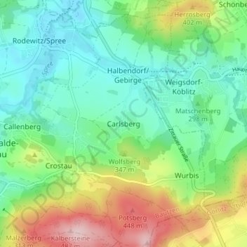
Name: Carlsberg topographic map, elevation, terrain.
Average elevation: 314 m
Minimum elevation: 233 m
Maximum elevation: 489 m