Geolocate

Azad Kooh topographic map

Click on the map to display elevation.

About this map
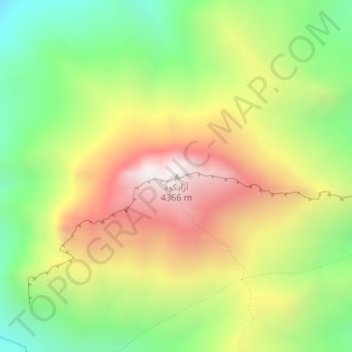
Name: Azad Kooh topographic map, elevation, terrain.

Location: Azad Kooh, دهستان اوزرود, بخش بلده, Nur County, Mazandaran Province, Iran (36.16921 51.50278 36.16931 51.50288)

Average elevation: 3,709 m

Minimum elevation: 3,156 m

Maximum elevation: 4,358 m

Other topographic maps

Click on a map to view its topography, its elevation and its terrain.

Gear up for your next adventure:

🎒Hiking Daypack - Lightweight and durable backpacks for day trips and excursions
🔦UV Flashlight - Detect minerals or specific insects in the dark
🧥Ultralight Puffy Jacket - Maximum warmth that packs down to the size of an orange
🦌Outdoor Trail Camera - Monitor wildlife activity near your favorite spots
🧥Softshell Jacket - Windproof and breathable jacket for hiking

As an Amazon Associate, this site earns from qualifying purchases at no extra cost to you.