Geolocate

Ismaila topographic map

Click on the map to display elevation.

About this map

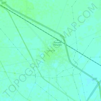
Name: Ismaila topographic map, elevation, terrain.

Location: Ismaila, Sampla, Rohtak, Haryana, 124402, India (28.77561 76.71677 28.81561 76.75677)

Average elevation: 219 m

Minimum elevation: 215 m

Maximum elevation: 222 m

Gear up for your next adventure:

Bushcraft Tarp - Versatile emergency shelter or gear protection
🧢Sun Protection Cap - Breathable cap to protect from sun exposure
🔥Camping Stove - Portable stoves to cook outdoors with ease
🛌Down Sleeping Bag - Superior warmth-to-weight ratio for cold nights
🧥Ultralight Puffy Jacket - Maximum warmth that packs down to the size of an orange

As an Amazon Associate, this site earns from qualifying purchases at no extra cost to you.