Geolocate

Magsidel topographic map

Click on the map to display elevation.

About this map

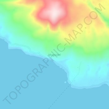
Name: Magsidel topographic map, elevation, terrain.

Location: Magsidel, Calayan, Cagayan, Cagayan Valley, Philippines (19.25932 121.41739 19.29932 121.45739)

Average elevation: 105 m

Minimum elevation: 0 m

Maximum elevation: 439 m

Other topographic maps

Click on a map to view its topography, its elevation and its terrain.

Babuyan Island

Philippines > Cagayan > Calayan

Average elevation: 185 m

Sibang Cove

Philippines > Cagayan > Calayan > Dadao

Average elevation: 56 m

Babuyan Island

Philippines > Cagayan > Calayan

Average elevation: 185 m

Gear up for your next adventure:

🥾Lightweight Hiking Boots - Boots for comfort and mobility on long hikes
💡Compact LED Flashlight - Powerful and portable flashlight for outdoor use
🥾Trail Hiking Shoes - Durable shoes designed for rugged trails
🥾Trail Hiking Socks - Comfortable socks to prevent blisters and fatigue
🧦Outdoor Socks - Durable socks designed for hiking and outdoor sports

As an Amazon Associate, this site earns from qualifying purchases at no extra cost to you.