
Britton topographic map
Interactive map
Click on the map to display elevation.
About this map
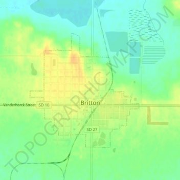
Name: Britton topographic map, elevation, terrain.
Location: Britton, Marshall County, South Dakota, United States (45.78492 -97.76390 45.80208 -97.74045)
Average elevation: 409 m
Minimum elevation: 396 m
Maximum elevation: 424 m