
Curacaví topographic map
Click on the map to display elevation.
About this map
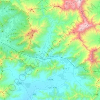
Name: Curacaví topographic map, elevation, terrain.
Average elevation: 581 m
Minimum elevation: 139 m
Maximum elevation: 2,190 m
Other topographic maps
Click on a map to view its topography, its elevation and its terrain.
Pomaire
Chile > Santiago Metropolitan Region > Provincia de Melipilla > Melipilla
Average elevation: 257 m
Quilamuta
Chile > Santiago Metropolitan Region > Provincia de Melipilla > Alhué
Average elevation: 630 m