
Weston topographic map
Click on the map to display elevation.
About this map
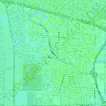
Name: Weston topographic map, elevation, terrain.
Location: Weston, Broward County, Florida, United States (26.06176 -80.45005 26.14602 -80.36214)
Average elevation: 5 m
Minimum elevation: -2 m
Maximum elevation: 11 m
Other topographic maps
Click on a map to view its topography, its elevation and its terrain.
Deerfield Beach Century Village
United States > Florida > Broward County > Deerfield Beach
Average elevation: 8 m
Palm Aire
United States > Florida > Broward County > Fort Lauderdale > Palm Aire
Average elevation: 6 m