
Hangar topographic map
Interactive map
Click on the map to display elevation.
About this map
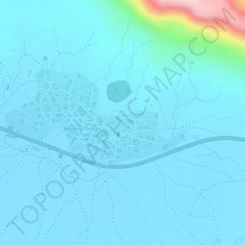
Name: Hangar topographic map, elevation, terrain.
Location: Hangar, Maréna Tringa, Cercle de Yélimané, Kayes, Mali (14.63743 -10.75620 14.65743 -10.73620)
Average elevation: 106 m
Minimum elevation: 79 m
Maximum elevation: 358 m
Other topographic maps
Click on a map to view its topography, its elevation and its terrain.
Hangar
Mali > Kayes > Cercle de Yélimané > Maréna Tringa
Hangar, Maréna Tringa, Cercle de Yélimané, Kayes, Mali
Average elevation: 107 m