Geolocate

Dingfang topographic map

Click on the map to display elevation.

About this map

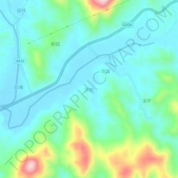
Name: Dingfang topographic map, elevation, terrain.

Location: Dingfang, Zhangzhou City, Fujian, China (24.01417 117.38889 24.05417 117.42889)

Average elevation: 94 m

Minimum elevation: 21 m

Maximum elevation: 336 m

Gear up for your next adventure:

🧰Multitool Knife - Compact and versatile tool for outdoor use
🧥Ultralight Puffy Jacket - Maximum warmth that packs down to the size of an orange
🥾Light Hiking Boots - Lightweight and comfortable boots for day hikes
🧤Insulated Winter Gloves - Heavy-duty protection for sub-zero Canadian adventures
👟Leg Gaiters - Keep debris, mud, and snow out of your boots

As an Amazon Associate, this site earns from qualifying purchases at no extra cost to you.