
Soest topographic map
Interactive map
Click on the map to display elevation.
About this map
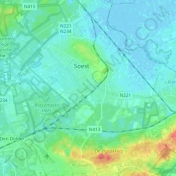
Name: Soest topographic map, elevation, terrain.
Location: Soest, Utrecht, Nederland (52.12423 5.24317 52.20456 5.34993)
Average elevation: 9 m
Minimum elevation: -3 m
Maximum elevation: 50 m
Other topographic maps
Click on a map to view its topography, its elevation and its terrain.