Geolocate

Caribayona topographic map

Click on the map to display elevation.

About this map

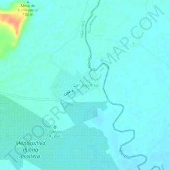
Name: Caribayona topographic map, elevation, terrain.

Location: Caribayona, Villanueva, Casanare, RAP Llanos, Colombia (4.47703 -72.77314 4.51703 -72.73314)

Average elevation: 180 m

Minimum elevation: 174 m

Maximum elevation: 215 m

Gear up for your next adventure:

🥾Waterproof Hiking Shoes - Durable shoes for wet and rugged trails
🧼Biodegradable Camp Soap - Environmentally friendly cleaning for gear and body
🛁Quick-Dry Microfiber Towel - Space-saving towel that dries rapidly on the move
🐕Hiking Dog Pack - Let your canine companion carry their own water and food
🦶Anti-Blister Balm - Prevents friction and hotspots during long ascents

As an Amazon Associate, this site earns from qualifying purchases at no extra cost to you.