
Perímetro Urbano Valledupar topographic map
Interactive map
Click on the map to display elevation.
About this map
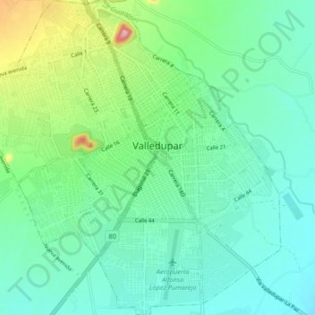
Name: Perímetro Urbano Valledupar topographic map, elevation, terrain.
Location: Perímetro Urbano Valledupar, Valledupar, Cesar, Colombia (10.42211 -73.29694 10.50213 -73.22113)
Average elevation: 163 m
Minimum elevation: 116 m
Maximum elevation: 314 m
Valledupar is located southeast of the Sierra Nevada de Santa Marta. Its average temperature is 28 °C. Because of its relatively high altitude and proximity to the equator, it has a variety of environments, from warm heat to perpetual snow. Notable geographic features in Valledupar include the Sierra Nevada de Santa Marta's peaks; the Codazzi, El Guardian, the Ojeda and La Reina. Many rivers descend from its snowy peaks and lagoons; the Ariguani, Ariguanicito, Badillo, Calderas, Cesar, Curiba, Donachui, Garupal, Guatapuri, which borders the city of Valledupar; and the Mariangola.