
Rohnert Park topographic map
Click on the map to display elevation.
About this map
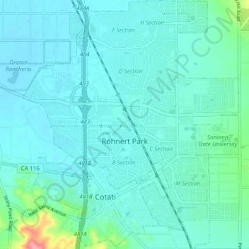
Name: Rohnert Park topographic map, elevation, terrain.
Location: Rohnert Park, Sonoma County, California, United States (38.31440 -122.73134 38.37252 -122.66699)
Average elevation: 39 m
Minimum elevation: 25 m
Maximum elevation: 126 m