
Thank you for supporting this site ❤️
Make a donation
Make a donation
Gear up for your next adventure:
As an Amazon Associate, this site earns from qualifying purchases at no extra cost to you.
Bhootel topographic map
Click on the map to display elevation.
Thank you for supporting this site ❤️
Make a donation
Make a donation
Gear up for your next adventure:
As an Amazon Associate, this site earns from qualifying purchases at no extra cost to you.
About this map
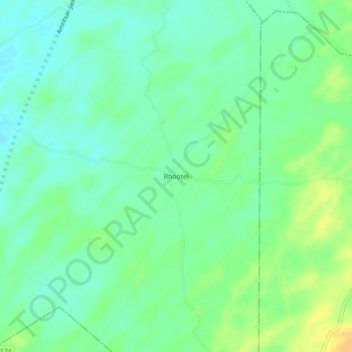
Name: Bhootel topographic map, elevation, terrain.
Location: Bhootel, Chitalwana Tehsil, Jalore, Rajasthan, India (24.96887 71.91577 25.00887 71.95577)
Average elevation: 72 m
Minimum elevation: 61 m
Maximum elevation: 91 m
Thank you for supporting this site ❤️
Make a donation
Make a donation
Gear up for your next adventure:
As an Amazon Associate, this site earns from qualifying purchases at no extra cost to you.