
Sharbot Lake topographic map
Click on the map to display elevation.
About this map
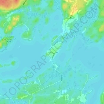
Name: Sharbot Lake topographic map, elevation, terrain.
Average elevation: 201 m
Minimum elevation: 193 m
Maximum elevation: 242 m
Frontenac County trails, hiking, mountain biking, running and outdoor activities
Other topographic maps
Click on a map to view its topography, its elevation and its terrain.
Sharbot Lake
Canada > Ontario > Frontenac County > Central Frontenac > Sharbot Lake
Average elevation: 204 m
White Lake
Canada > Ontario > Frontenac County > Central Frontenac > Shabot Obaadjiwan First Nation
Average elevation: 226 m
Eagle Lake
Canada > Ontario > Frontenac County > Central Frontenac > Tichborne
Average elevation: 198 m