
San Antón topographic map
Interactive map
Click on the map to display elevation.
About this map
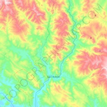
Name: San Antón topographic map, elevation, terrain.
Location: San Antón, Provincia de Azángaro, Puno, Perú (-14.66739 -70.36920 -14.37272 -70.12002)
Average elevation: 4,323 m
Minimum elevation: 3,901 m
Maximum elevation: 5,050 m