
Corias topographic map
Interactive map
Click on the map to display elevation.
About this map
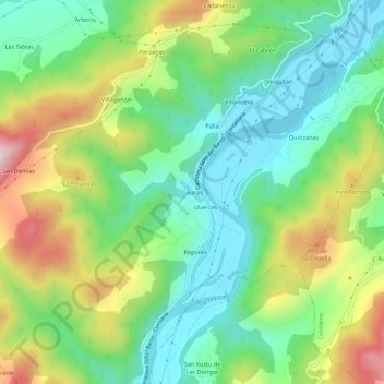
Name: Corias topographic map, elevation, terrain.
Location: Corias, Pravia, Asturias, 33850, España (43.43135 -6.15639 43.47135 -6.11639)
Average elevation: 166 m
Minimum elevation: 10 m
Maximum elevation: 451 m
Other topographic maps
Click on a map to view its topography, its elevation and its terrain.