Geolocate

Jorak topographic map

Click on the map to display elevation.

About this map

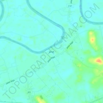
Name: Jorak topographic map, elevation, terrain.

Location: Jorak, Muar, Johor, 84300, Malaysia (2.10650 102.62226 2.14650 102.66226)

Average elevation: 8 m

Minimum elevation: -2 m

Maximum elevation: 39 m

Other topographic maps

Click on a map to view its topography, its elevation and its terrain.

Emas Cape

Malaysia > Johor > Muar

Average elevation: 4 m

Tanjung Emas

Malaysia > Johor > Muar

Average elevation: 4 m

Taman Tanjung Ketapang

Malaysia > Johor > Muar

Average elevation: 3 m

Parit Perupok

Malaysia > Johor > Muar

Average elevation: 7 m

Parit Keroma

Malaysia > Johor > Muar

Average elevation: 7 m

Gear up for your next adventure:

🧤Thermal Hiking Gloves - Grip-enhanced gloves for cold-weather altitude trekking
💧Filtered Water Bottle - Safe drinking water on the go
🥾Durable Hiking Shoes - Long-lasting shoes for frequent hiking
🛌Insulated Sleeping Pad - Critical thermal barrier between you and the cold ground
🧰Emergency Multi-Tool - Compact multi-tool for outdoor survival

As an Amazon Associate, this site earns from qualifying purchases at no extra cost to you.