
South Kalamassery topographic map
Interactive map
Click on the map to display elevation.
About this map
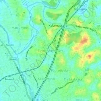
Name: South Kalamassery topographic map, elevation, terrain.
Location: South Kalamassery, Ernakulam, Kerala, 682033, India (10.02478 76.29513 10.06478 76.33513)
Average elevation: 12 m
Minimum elevation: 0 m
Maximum elevation: 36 m