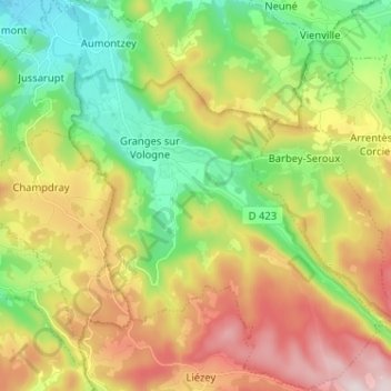
Granges-Aumontzey topographic map
Interactive map
Click on the map to display elevation.
About this map
Name: Granges-Aumontzey topographic map, elevation, terrain.
Average elevation: 657 m
Minimum elevation: 447 m
Maximum elevation: 954 m

Click on the map to display elevation.
Name: Granges-Aumontzey topographic map, elevation, terrain.
Average elevation: 657 m
Minimum elevation: 447 m
Maximum elevation: 954 m