Geolocate

Badhra topographic map

Click on the map to display elevation.

About this map

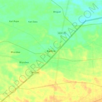
Name: Badhra topographic map, elevation, terrain.

Location: Badhra, Charkhi Dadri, Haryana, 123308, India (28.47086 75.89739 28.55086 75.97739)

Average elevation: 256 m

Minimum elevation: 241 m

Maximum elevation: 271 m

Gear up for your next adventure:

🥾Durable Hiking Shoes - Long-lasting shoes for frequent hiking
🥘Camping Cookware Set - Compact nesting pots and pans for trail cooking
🦯Trekking Poles - Reduced impact on joints for steep topographic climbs
🛁Quick-Dry Microfiber Towel - Space-saving towel that dries rapidly on the move
🍽️Titanium Camping Spork - Ultralight and indestructible eating utensil

As an Amazon Associate, this site earns from qualifying purchases at no extra cost to you.