Geolocate

Worpswede topographic map

Click on the map to display elevation.

About this map

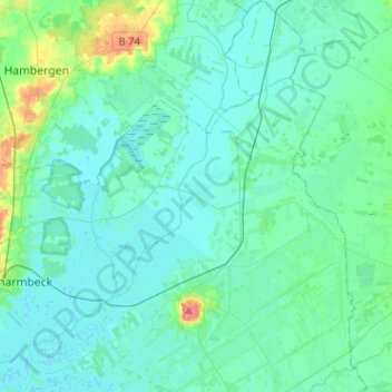
Name: Worpswede topographic map, elevation, terrain.

Location: Worpswede, Landkreis Osterholz, Lower Saxony, 27726, Germany (53.18512 8.82400 53.33768 9.02675)

Average elevation: 8 m

Minimum elevation: -1 m

Maximum elevation: 50 m

Gear up for your next adventure:

👖Convertible Hiking Pants - Zip-off legs to adapt to changing weather conditions
Tent Footprint - Protect tent floor and increase durability
💧Collapsible Water Bottle - Space-saving water bottle for outdoor activities
🥾Mountain Hiking Boots - High-traction boots for rocky terrain
🥾Light Hiking Boots - Lightweight and comfortable boots for day hikes

As an Amazon Associate, this site earns from qualifying purchases at no extra cost to you.