Geolocate

Haidarnagar topographic map

Click on the map to display elevation.

About this map

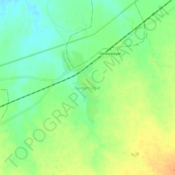
Name: Haidarnagar topographic map, elevation, terrain.

Location: Haidarnagar, Haidernagar, Palamu, Jharkhand, 822115, India (24.46840 83.92441 24.50840 83.96441)

Average elevation: 150 m

Minimum elevation: 134 m

Maximum elevation: 168 m

Gear up for your next adventure:

🧦Crew Hiking Socks - Comfortable socks for long-distance hikes
🥾Light Hiking Boots - Lightweight and comfortable boots for day hikes
🧢Outdoor Cap - Protective cap for sun and rain during hikes
🥾Lightweight Hiking Boots - Boots for comfort and mobility on long hikes
🛌Down Sleeping Bag - Superior warmth-to-weight ratio for cold nights

As an Amazon Associate, this site earns from qualifying purchases at no extra cost to you.