Geolocate

Sindurejo topographic map

Click on the map to display elevation.

About this map

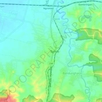
Name: Sindurejo topographic map, elevation, terrain.

Location: Sindurejo, Grobogan, Central Java, Java, 58171, Indonesia (-7.18320 110.88157 -7.14320 110.92157)

Average elevation: 52 m

Minimum elevation: 32 m

Maximum elevation: 105 m

Gear up for your next adventure:

🥾Trekking Poles - Adjustable trekking poles to reduce knee stress and improve stability
🧼Travel Hand Sanitizer - Keep hands clean when water is scarce
🔋Solar Power Bank - Keep your GPS and devices charged during long outdoor trips
🥾Lightweight Hiking Shoes - Comfortable shoes for day hikes
🔦LED Headlamp - Hands-free lighting for early morning starts or late finishes

As an Amazon Associate, this site earns from qualifying purchases at no extra cost to you.