
Sarchu topographic map
Interactive map
Click on the map to display elevation.
About this map
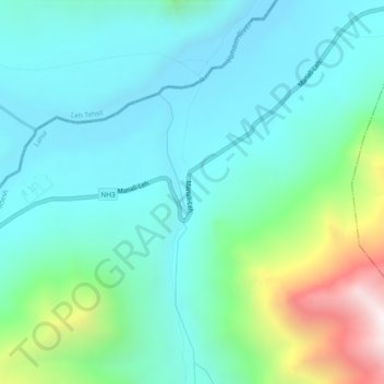
Name: Sarchu topographic map, elevation, terrain.
Location: Sarchu, Lahul and Spiti, Himachal Pradesh, India (32.88680 77.56271 32.92680 77.60271)
Average elevation: 4,508 m
Minimum elevation: 4,219 m
Maximum elevation: 5,540 m