Geolocate

Nangan topographic map

Click on the map to display elevation.

About this map

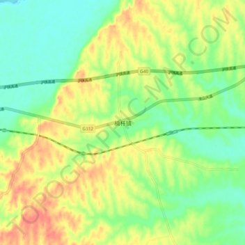
Name: Nangan topographic map, elevation, terrain.

Location: Nangan, Luoshan County, Xinyang, Henan, China (32.12037 114.36821 32.20037 114.44821)

Average elevation: 77 m

Minimum elevation: 52 m

Maximum elevation: 107 m

Gear up for your next adventure:

🍽️Titanium Camping Spork - Ultralight and indestructible eating utensil
🚲Heavy Duty Bike Lock - Secure your bike at the trailhead or during stops
🛶Waterproof Dry Bags - Keep electronics and clothes dry during river crossings
🧢Hiking Sun Hat - Wide-brimmed protection for exposed mountain ridges
🛏️Sleeping Bag - Warm and compact sleeping bags for outdoor camping

As an Amazon Associate, this site earns from qualifying purchases at no extra cost to you.