
Bekveld topographic map
Interactive map
Click on the map to display elevation.
About this map
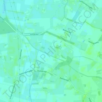
Name: Bekveld topographic map, elevation, terrain.
Average elevation: 11 m
Minimum elevation: 7 m
Maximum elevation: 15 m
Other topographic maps
Click on a map to view its topography, its elevation and its terrain.
Noordink
Nederland > Gelderland > Hengelo (Gld)
Noordink, Hengelo (Gld), Bronckhorst, Gelderland, Nederland, 7255 LE, Nederland
Average elevation: 13 m
Dunsborg
Nederland > Gelderland > Hengelo (Gld)
Dunsborg, Hengelo (Gld), Bronckhorst, Gelderland, Nederland, 7255 PX, Nederland
Average elevation: 16 m