
Maurset topographic map
Interactive map
Click on the map to display elevation.
About this map
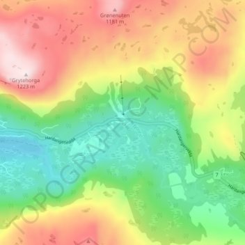
Name: Maurset topographic map, elevation, terrain.
Location: Maurset, Eidfjord, Hordaland, 5785, Noorwegen (60.39211 7.31688 60.43211 7.35688)
Average elevation: 948 m
Minimum elevation: 734 m
Maximum elevation: 1,222 m