
Thank you for supporting this site ❤️
Make a donation
Make a donation
Gear up for your next adventure:
As an Amazon Associate, this site earns from qualifying purchases at no extra cost to you.
Lamgara topographic map
Click on the map to display elevation.
Thank you for supporting this site ❤️
Make a donation
Make a donation
Gear up for your next adventure:
As an Amazon Associate, this site earns from qualifying purchases at no extra cost to you.
About this map
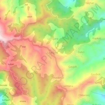
Name: Lamgara topographic map, elevation, terrain.
Location: Lamgara, Lamgara Tehsil, Almora, Uttarakhand, 263625, India (29.52224 79.73113 29.56224 79.77113)
Average elevation: 1,770 m
Minimum elevation: 1,482 m
Maximum elevation: 2,032 m
Thank you for supporting this site ❤️
Make a donation
Make a donation
Gear up for your next adventure:
As an Amazon Associate, this site earns from qualifying purchases at no extra cost to you.