Geolocate

Fairtree Pond topographic map

Click on the map to display elevation.

About this map

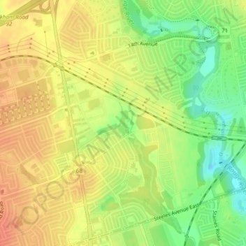
Name: Fairtree Pond topographic map, elevation, terrain.

Location: Fairtree Pond, Markham, York Region, Golden Horseshoe, Ontario, Canada (43.84789 -79.24699 43.85081 -79.24534)

Average elevation: 173 m

Minimum elevation: 146 m

Maximum elevation: 191 m

York Region trails, hiking, mountain biking, running and outdoor activities

Other topographic maps

Click on a map to view its topography, its elevation and its terrain.

Toogood Pond

Canada > Ontario > York Region > Markham

Average elevation: 182 m

Rouge River

Canada > Ontario > York Region > Markham

Average elevation: 196 m

Gear up for your next adventure:

🔦LED Headtorch - Bright and durable light for night activities
🥾Trekking Boots - Durable boots for long-distance trekking
Family Camping Tent - Spacious tent suitable for family camping trips
🛶Kayak Dry Bag - Waterproof storage for kayaking adventures
🔦LED Flashlight - Powerful and long-lasting flashlight for camping and emergencies

As an Amazon Associate, this site earns from qualifying purchases at no extra cost to you.