Geolocate

Galung topographic map

Click on the map to display elevation.

About this map

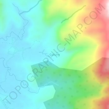
Name: Galung topographic map, elevation, terrain.

Location: Galung, Barru, South Sulawesi, Sulawesi, 90711, Indonesia (-4.41586 119.70476 -4.37586 119.74476)

Average elevation: 243 m

Minimum elevation: 31 m

Maximum elevation: 794 m

Gear up for your next adventure:

💡LED Headlamp - Hands-free illumination for night hiking and camping
🥾Mountain Hiking Shoes - Shoes with superior grip for mountainous terrain
🥾Approach Shoes - Shoes designed for climbing approaches and rugged trails
🧰Emergency Multi-Tool - Compact multi-tool for outdoor survival
💧Filtered Water Bottle - Safe drinking water on the go

As an Amazon Associate, this site earns from qualifying purchases at no extra cost to you.