Geolocate

Gunung Masigit topographic map

Click on the map to display elevation.

About this map

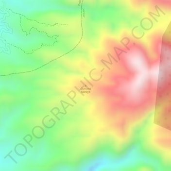
Name: Gunung Masigit topographic map, elevation, terrain.

Location: Gunung Masigit, Jember, East Java, Indonesia (-8.02455 113.48035 -8.02445 113.48045)

Average elevation: 1,033 m

Minimum elevation: 813 m

Maximum elevation: 1,257 m

Gear up for your next adventure:

🥾Light Trekking Boots - Supportive boots for multi-day treks
🕶️Polarized Sunglasses - Reduces glare from snow and water at high elevations
🥾Light Hiking Boots - Lightweight and comfortable boots for day hikes
Backpacking Tent - Lightweight tent for long-distance hiking trips
🥾Waterproof Hiking Boots - Essential footwear for rugged terrain and wet Canadian trails

As an Amazon Associate, this site earns from qualifying purchases at no extra cost to you.