Geolocate

Bridge Point Farms topographic map

Click on the map to display elevation.

About this map

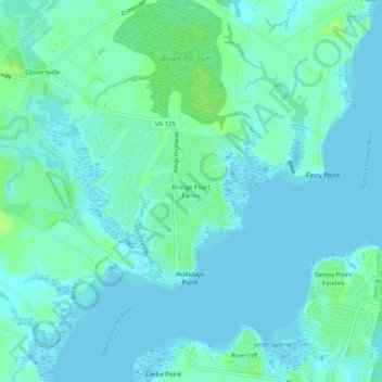
Name: Bridge Point Farms topographic map, elevation, terrain.

Location: Bridge Point Farms, Suffolk, Virginia, 23432, United States (36.82820 -76.56884 36.86820 -76.52884)

Average elevation: 4 m

Minimum elevation: -3 m

Maximum elevation: 14 m

Gear up for your next adventure:

🔪Outdoor Multitool - Versatile tool for repairs and food prep in the wild
💧Filtered Water Bottle - Safe drinking water on the go
🧦Thermal Socks - Warm socks for winter hiking or camping
🧣Evaporative Cooling Towel - Beat the heat during intense summer climbs
🏃Hydration Running Vest - Carry water and maps close to your body for speed

As an Amazon Associate, this site earns from qualifying purchases at no extra cost to you.