
Make a donation
Gear up for your next adventure:
As an Amazon Associate, this site earns from qualifying purchases at no extra cost to you.
Westalpen topographic map
Click on the map to display elevation.
Make a donation
Gear up for your next adventure:
As an Amazon Associate, this site earns from qualifying purchases at no extra cost to you.
Westalpen
Die Westalpen enthalten die gesamten Alpenanteile von Frankreich und Monaco, den größten der Schweiz, sowie einen nicht unbeträchtlichen von Italien, und sind insgesamt deutlich höher als die Ostalpen – 81 der insgesamt 82 Viertausender der Alpen liegen in den Westalpen, und damit auch die 64 höchsten Alpengipfel, einschließlich des Mont Blanc als höchstem Berg des gesamten Gebirges.
Make a donation
Gear up for your next adventure:
As an Amazon Associate, this site earns from qualifying purchases at no extra cost to you.
About this map
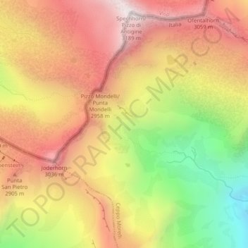
Name: Westalpen topographic map, elevation, terrain.
Average elevation: 2,662 m
Minimum elevation: 2,012 m
Maximum elevation: 3,163 m
Make a donation
Gear up for your next adventure:
As an Amazon Associate, this site earns from qualifying purchases at no extra cost to you.