
Goliad County topographic map
Interactive map
Click on the map to display elevation.
About this map
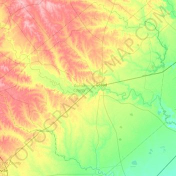
Name: Goliad County topographic map, elevation, terrain.
Location: Goliad County, Texas, Vereinigte Staaten von Amerika (28.38868 -97.77839 28.92563 -97.15360)
Average elevation: 61 m
Minimum elevation: 12 m
Maximum elevation: 136 m