Geolocate

Algodonal topographic map

Click on the map to display elevation.

About this map

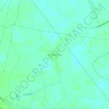
Name: Algodonal topographic map, elevation, terrain.

Location: Algodonal, Santa Lucía, Atlántico, Colombia (10.32906 -74.96947 10.36906 -74.92947)

Average elevation: 5 m

Minimum elevation: 1 m

Maximum elevation: 10 m

Gear up for your next adventure:

🧥Waterproof Hiking Jacket - Protect yourself from rain and wind while hiking
💧Reusable Water Bottle - Durable water bottles for hydration on trails
🛶Waterproof Dry Bags - Keep electronics and clothes dry during river crossings
🧭GPS Outdoor Watch - Smart watch for navigation and fitness tracking in nature
🥾Durable Hiking Shoes - Long-lasting shoes for frequent hiking

As an Amazon Associate, this site earns from qualifying purchases at no extra cost to you.