Geolocate

Clevenger topographic map

Click on the map to display elevation.

About this map

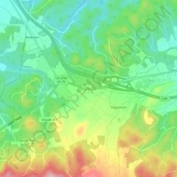
Name: Clevenger topographic map, elevation, terrain.

Location: Clevenger, Newport, Cocke County, Tennessee, United States (35.94898 -83.28377 35.98898 -83.24377)

Average elevation: 395 m

Minimum elevation: 318 m

Maximum elevation: 526 m

Gear up for your next adventure:

🪑Ultralight Camping Stool - Compact seating for rest stops during long hikes
Camping Tent - Weather-resistant tents suitable for 2 to 6 people
🧰Survival Kit - Essential gear for emergencies in the wilderness
🥾Waterproof Hiking Shoes - Durable shoes for wet and rugged trails
🧥Waterproof Jacket - Lightweight rain jackets for hiking and outdoor activities

As an Amazon Associate, this site earns from qualifying purchases at no extra cost to you.