Geolocate

Oachira topographic map

Click on the map to display elevation.

About this map
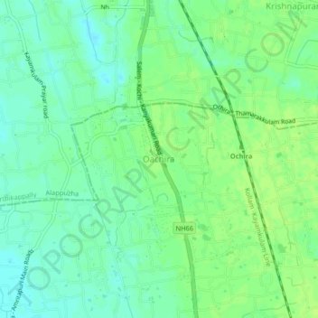
Name: Oachira topographic map, elevation, terrain.

Location: Oachira, Karunagappally, Kollam, Kerala, 690526, India (9.11039 76.49463 9.15039 76.53463)

Average elevation: 10 m

Minimum elevation: 3 m

Maximum elevation: 15 m

Gear up for your next adventure:

🦯Trekking Poles - Reduced impact on joints for steep topographic climbs
🗺️Topographic Maps - Detailed maps to explore trails, mountains, and wilderness areas
🥾Lightweight Hiking Boots - Boots for comfort and mobility on long hikes
🥾Hiking Leggings - Comfortable leggings for outdoor activities
🧤Rechargeable Heated Gloves - Extreme warmth for Canadian winter expeditions

As an Amazon Associate, this site earns from qualifying purchases at no extra cost to you.