Geolocate

Silao topographic map

Click on the map to display elevation.

About this map

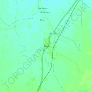
Name: Silao topographic map, elevation, terrain.

Location: Silao, Nalanda District, Bihar, India (25.04090 85.38783 25.12090 85.46783)

Average elevation: 62 m

Minimum elevation: 57 m

Maximum elevation: 67 m

Other topographic maps

Click on a map to view its topography, its elevation and its terrain.

Nalanda

India > Bihar > Silao > Kapatia

Average elevation: 59 m

Nalanda

India > Bihar > Silao > Kapatia

Average elevation: 59 m

Gear up for your next adventure:

🧦Hiking Socks - Moisture-wicking and comfortable socks for long hikes
🥾Trail Running Boots - Durable shoes designed for trail running
🥾Trail Hiking Boots - Supportive boots for rough trails
👟Leg Gaiters - Keep debris, mud, and snow out of your boots
🥾Hiking Boots - Sturdy boots providing ankle support and traction on rugged trails

As an Amazon Associate, this site earns from qualifying purchases at no extra cost to you.