
Senhorim topographic map
Interactive map
Click on the map to display elevation.
About this map
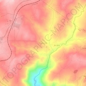
Name: Senhorim topographic map, elevation, terrain.
Location: Senhorim, Nelas, Viseu, 3530-310, Portugal (40.51984 -7.84071 40.55984 -7.80071)
Average elevation: 395 m
Minimum elevation: 222 m
Maximum elevation: 461 m