
Thank you for supporting this site ❤️
Make a donation
Make a donation
Gear up for your next adventure:
As an Amazon Associate, this site earns from qualifying purchases at no extra cost to you.
Medrissa topographic map
Click on the map to display elevation.
Thank you for supporting this site ❤️
Make a donation
Make a donation
Gear up for your next adventure:
As an Amazon Associate, this site earns from qualifying purchases at no extra cost to you.
About this map
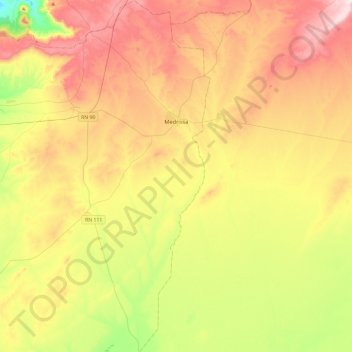
Name: Medrissa topographic map, elevation, terrain.
Location: Medrissa, Aïn Kermes District, Tiaret, 14013, Algeria (34.63551 1.15763 35.02746 1.29196)
Average elevation: 1,088 m
Minimum elevation: 873 m
Maximum elevation: 1,329 m
Thank you for supporting this site ❤️
Make a donation
Make a donation
Gear up for your next adventure:
As an Amazon Associate, this site earns from qualifying purchases at no extra cost to you.