Geolocate

El Contento topographic map

Click on the map to display elevation.

About this map

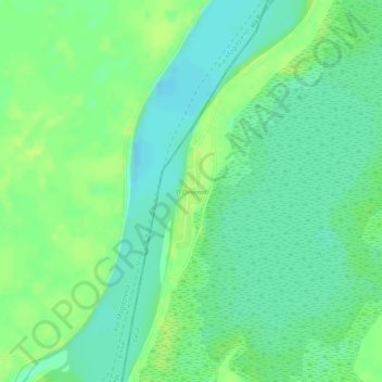
Name: El Contento topographic map, elevation, terrain.

Location: El Contento, Gamarra, Cesar, Colombia (8.21857 -73.77432 8.22663 -73.77179)

Average elevation: 38 m

Minimum elevation: 29 m

Maximum elevation: 46 m

Gear up for your next adventure:

🧊Portable Cooler - Keep food and drinks cold during outdoor adventures
🗺️Topographic Maps - Detailed maps to explore trails, mountains, and wilderness areas
💧Collapsible Water Bottle - Space-saving water bottle for outdoor activities
🧢Outdoor Visor - Breathable visor for sunny hikes
🕶️Polarized Sunglasses - Protect your eyes with durable polarized lenses

As an Amazon Associate, this site earns from qualifying purchases at no extra cost to you.