
nanine topographic map
Interactive map
Click on the map to display elevation.
About this map
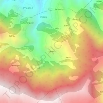
Name: nanine topographic map, elevation, terrain.
Location: nanine, Thathri, Doda District, Jammu en Kasjmir, India (33.09298 75.76062 33.13298 75.80062)
Average elevation: 1,971 m
Minimum elevation: 1,148 m
Maximum elevation: 2,688 m